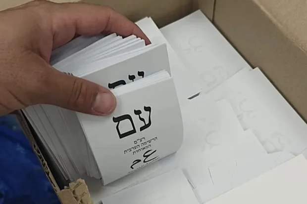









Syrian recognition of Israeli sovereignty? Official Syrian maps exclude Israel's Golan Heights
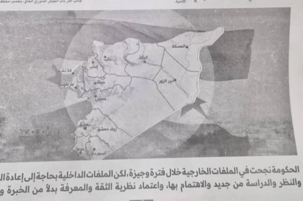
The Syrian government has published maps through official regime channels that notably exclude the Israeli-controlled Golan Heights, territory captured by Israel during the 1967 Six-Day War and placed under Israeli law in 1981.
Such a map appeared for the first time in an article published last night in the Syrian state newspaper Al-Thawra – its 14th issue since the fall of the Assad regime. The map depicts only portions of the Quneitra Governorate entered by Israel’s military following the regime’s collapse, omitting the Golan Heights.
Similar maps omitting the area have also appeared in official publications issued by the Syrian Foreign Ministry.
In August, Syrian President Ahmed al-Sharaa signaled in a conversation with journalists that his country would not join the Abraham Accords as long as the Golan Heights remain under Israeli occupation.
At the same time, Kan News reported that dramatic behind-the-scenes negotiations were taking place between Jerusalem and Damascus, in which Israel positively considered transferring the Mount Dov (Shebaa Farms) area to Syria in exchange for Syria dropping its claim to sovereignty over the Golan Heights.
However, these negotiations were halted following the massacre in As-Suwayda.
Popular article:
interview Easter message of resurrection hope amid war at Jerusalem's Garden Tomb

biblical commentary Let my people go: a Passover message for today
4 IDF soldiers killed, 2 wounded in fighting in southern Lebanon, as Israel eliminates dozens of Hezbollah terrorists

Receive latest news & updates
A message from All Israel News
Help us educate Christians on a daily basis about what is happening in Israel & the Middle East and why it matters.
For as little as $10, you can support ALL ISRAEL NEWS, a non-profit media organization that is supported by readers like you.
Latest articles:
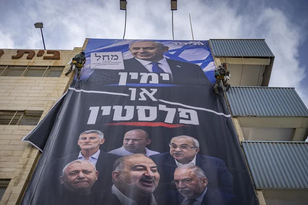
Eisenkot slams Likud for ‘malicious attempt to deny election results’ amid foreign interference probe

Maronite community forgives vandals who targeted historic church in Nahariya
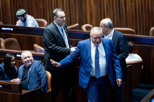
‘Change Bloc’ in disarray: Liberman refuses Eisenkot endorsement as Pres Herzog weighs first candidate to establish new gov’t
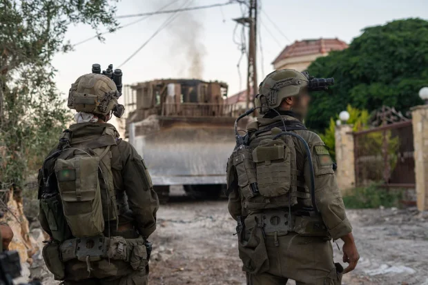
IDF expands academic benefits for reservists, career soldiers after years of wartime service
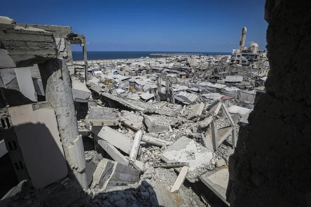
Israel grants ‘immunity’ to Hamas political officials, targeted strikes continue in Gaza